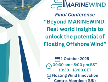
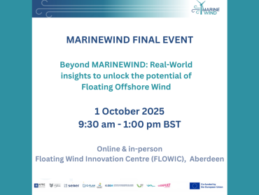
MARINEWIND project has gathered insights from across Europe to identify key recommendations that can accelerate the uptake of Floating Offshore Wind Technologies. Here’s what can make a real difference: 1️⃣ Promote technological innovation & upgrade infrastructure (ports, grid, logistics). 2️⃣ Build a resilient EU-based supply and value chain to reduce dependencies on non-EU suppliers and strengthen competitiveness. 3️⃣ Ensure inclusive…